
Locate the property precisely
Confirm city, county, fire district, and whether any work touches Ameren’s project boundary.
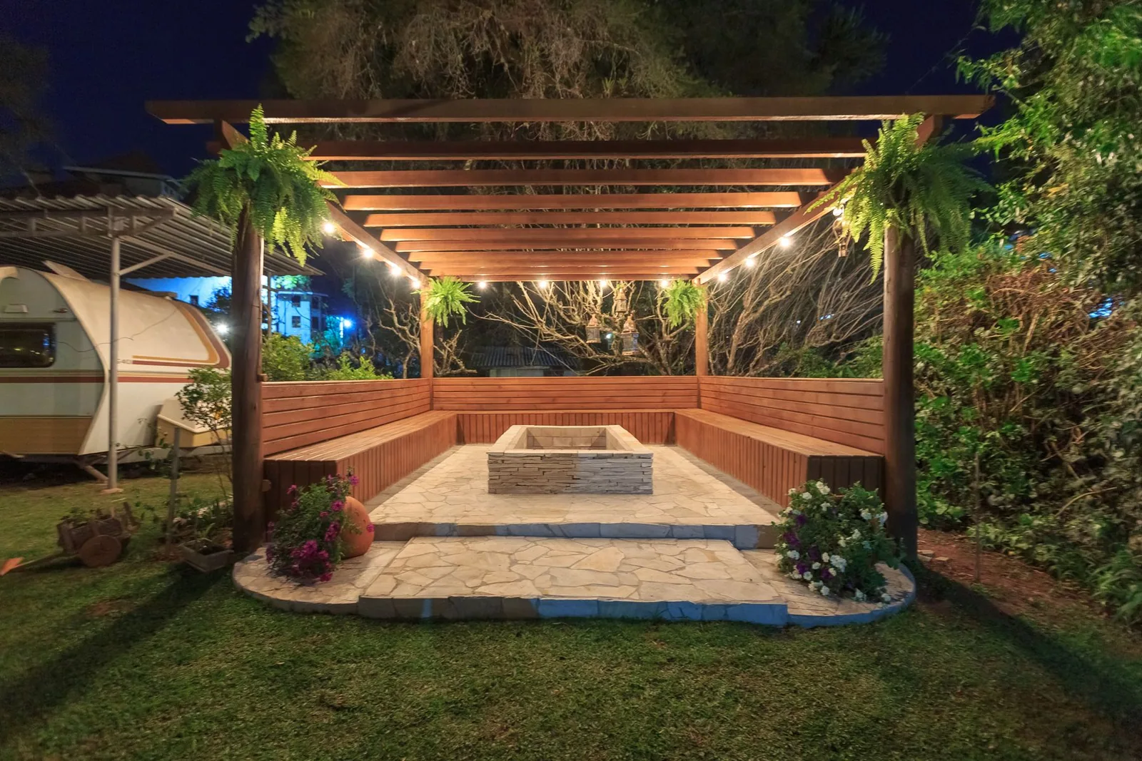
Lake of the Ozarks · outdoor living
Lake-area projects begin with the address, the slope, the access, and every authority touching the site.
The starting point
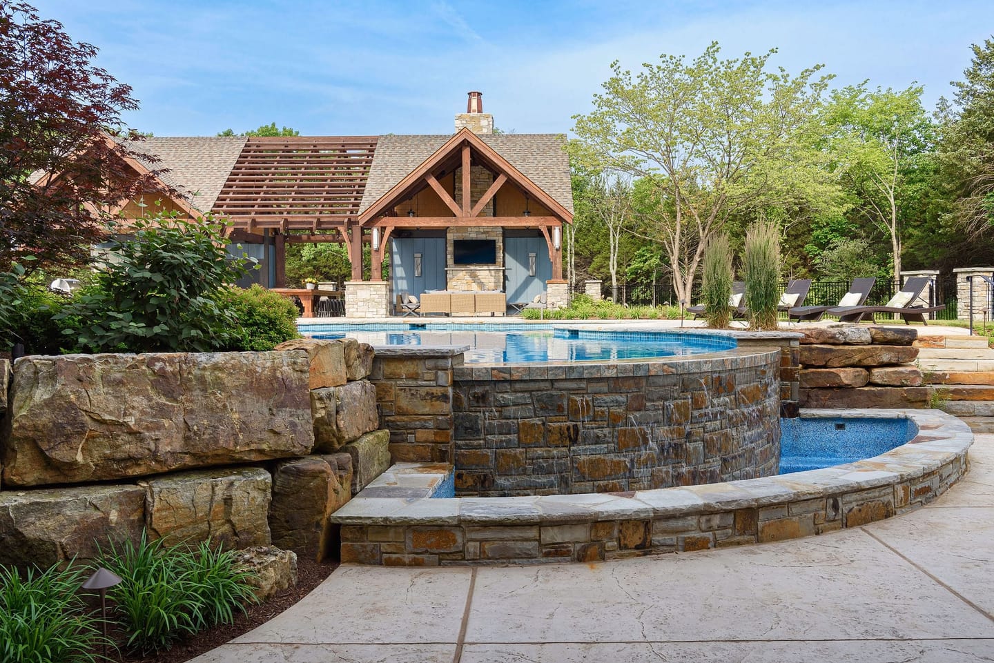
Elevation serves Lake of the Ozarks homeowners with custom decks, fences, patios, retaining walls, drainage work, and coordinated outdoor-living plans. Because the lake spans multiple cities, counties, fire districts, and Ameren’s project boundary, the first planning step is confirming the exact property and which reviews apply.
In Osage Beach, the Building Department reviews plans, issues permits, and performs inspections; its site-development guidance specifically includes excavation, grading over two feet, retaining walls, storm sewers, and culverts. Near the shoreline, Ameren says proposed improvements within its project boundary require approval before construction.
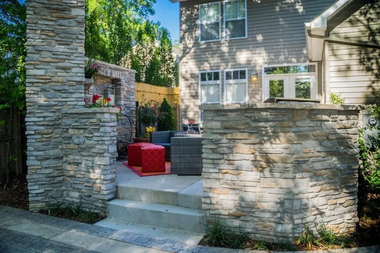
Retaining and outdoor work on a sloped site
Lake-area planning
Elevation identifies the applicable city, county, fire-district, and Ameren shoreline reviews from the Lake of the Ozarks property and scope. The lake is not one permitting jurisdiction, so the team confirms the approval path, slope, access, drainage, and project boundary before finalizing the design direction.
What gets decided
Elevation plans Lake of the Ozarks outdoor work by locating the property precisely, identifying city, county, fire-district, and shoreline review, and reading slope, access, drainage, exposure, and material movement. The team separates upland and shoreline scopes before sequencing decks, walls, patios, fences, or landscape transitions.
Confirm city, county, fire district, and whether any work touches Ameren’s project boundary.
Plan foundations, equipment movement, staging, stairs, retaining, drainage, and material delivery around the real site.
A deck near the house and an improvement inside the shoreline project boundary may have different reviewers.
Balance gathering, views, sun, water, upkeep, material movement, and future phases.
Straight answers
Lake of the Ozarks planning begins with the exact property because city, county, fire-district, and Ameren shoreline review can vary around the lake. These answers connect jurisdiction, slope, access, drainage, site development, shoreline boundaries, and the construction sequence that makes sense for the property.
Call ElevationElevation serves Lake of the Ozarks. Exact fit and scheduling depend on the property, access, scope, and the authorities that review the location. Elevation confirms those conditions before promising a material direction, schedule, or construction sequence. For a Lake of the Ozarks property, the written scope records the specific materials and agreed construction path.
Lake of the Ozarks planning starts with the exact property, scope, and reviewing authorities. It depends on the exact address. The lake crosses multiple cities and counties, and shoreline work may also involve Ameren Missouri. Elevation confirms the applicable path for the property rather than naming one authority for the whole lake.
Ameren states that proposed improvements within the Osage Project boundary require permits before construction. Property-boundary mapping and the exact scope determine whether that process applies. Elevation checks the mapped project boundary and proposed improvement before treating shoreline review as applicable.
Lake of the Ozarks planning starts with the exact property, scope, and reviewing authorities. The City’s official guidance lists excavation, grading over two feet, retaining walls, storm sewers, and culverts among work that can require a site-development permit. Requirements differ outside Osage Beach.
Lake of the Ozarks planning starts with the exact property, scope, and reviewing authorities. Steep grade, narrow access, material staging, runoff, retaining conditions, exposure, and shoreline boundaries can change the right construction sequence. Share those conditions during the first call.
Plan from the official source
Elevation checks the exact Lake of the Ozarks jurisdiction before construction. According to Osage Beach, site-development review can include grading, retaining walls, storm sewers, and culverts, while Ameren requires approval before proposed improvements are built inside the Osage Project boundary. Other lake addresses can follow different authorities.
Official plan review, permitting, inspection, and project-timeline guidance within Osage Beach city limits.
Open official guidance ↗02Official requirements covering excavation, grading, retaining walls, drainage infrastructure, and inspections.
Open official guidance ↗03Official shoreline-boundary permitting process, application requirements, and project-location guidance.
Open official guidance ↗
Explore next
For structure, stairs, access, and exposure near the home, enter the custom-deck route. When slope, walls, drainage, privacy, and gathering must resolve together, use the coordinated outdoor-living plan.
Last updated August 18, 2026.
Start with the idea
You do not need a finished plan. Tell Elevation what the property needs to do, what you want to avoid, and where it is.